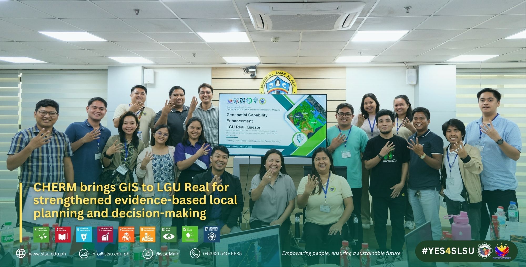
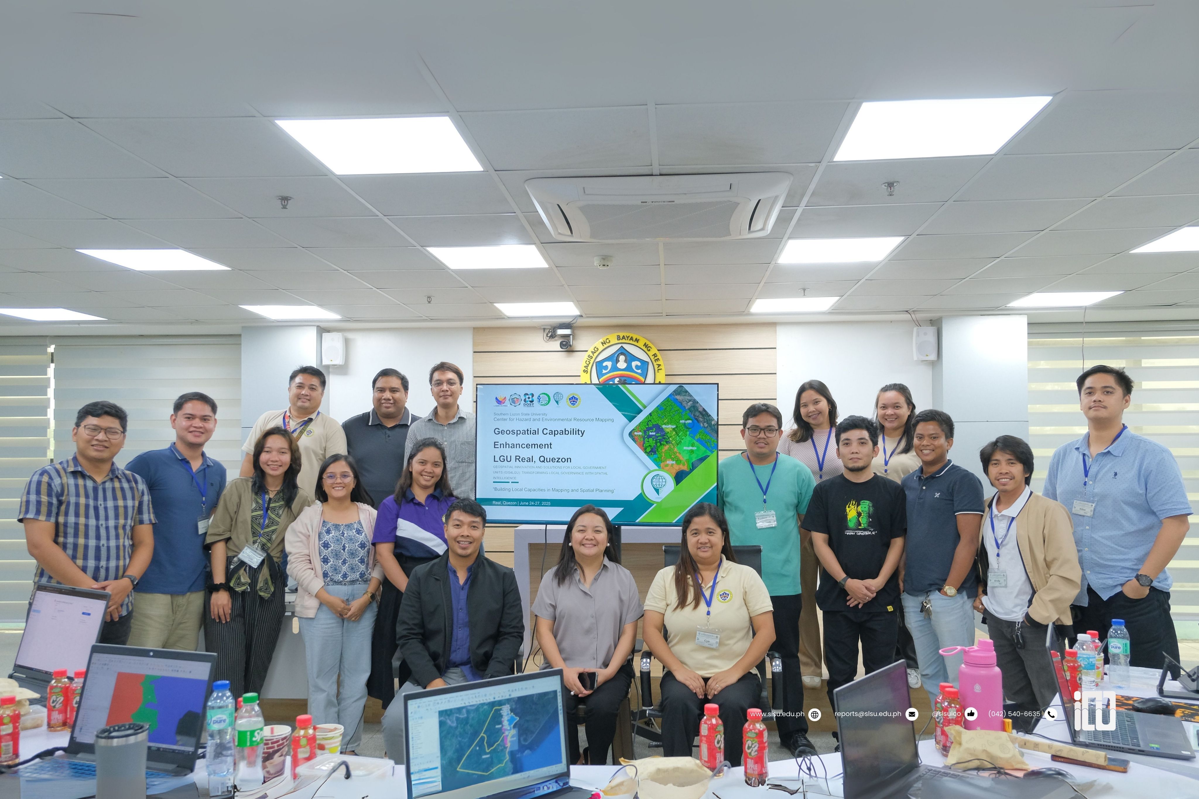
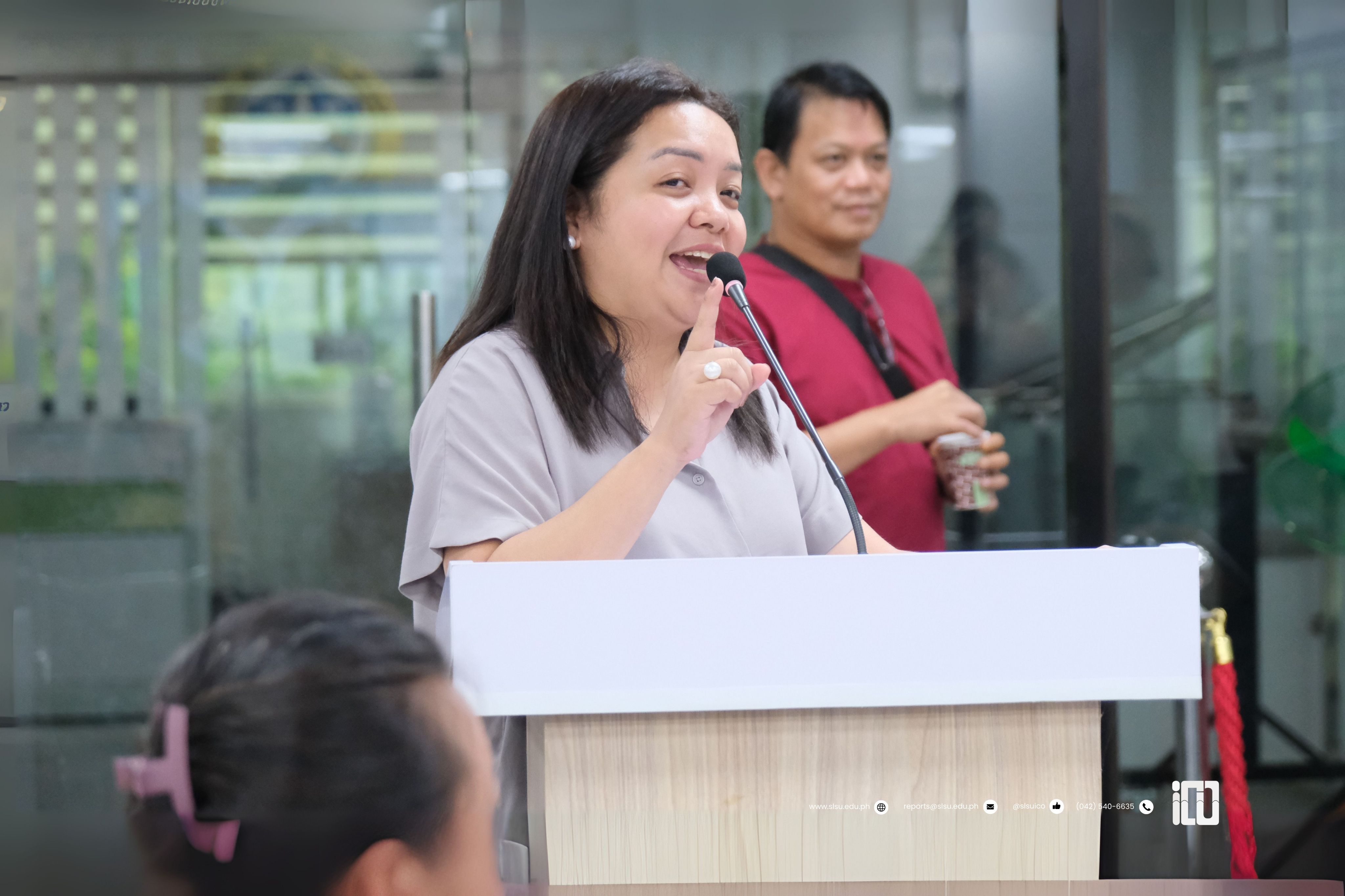
Specializing in Geographic Information Systems (GIS)-based hazard and environmental resource assessments, the Center for Hazard and Environmental Resource Mapping (CHERM) of the Southern Luzon State University (SLSU) trained the local government unit of Real, Quezon, to integrate geospatial intelligence into informed, data-driven, and evidence-based local planning.
In the first part of the “Geospatial Innovation and Solutions for Local Government Units (GIS4LGU): Transforming Local Governance with Spatial Intelligence,” 18 participants from a multidisciplinary team of engineers, environmental planners, assessors, agriculturists, and disaster management professionals were selected from the Municipality of Real.
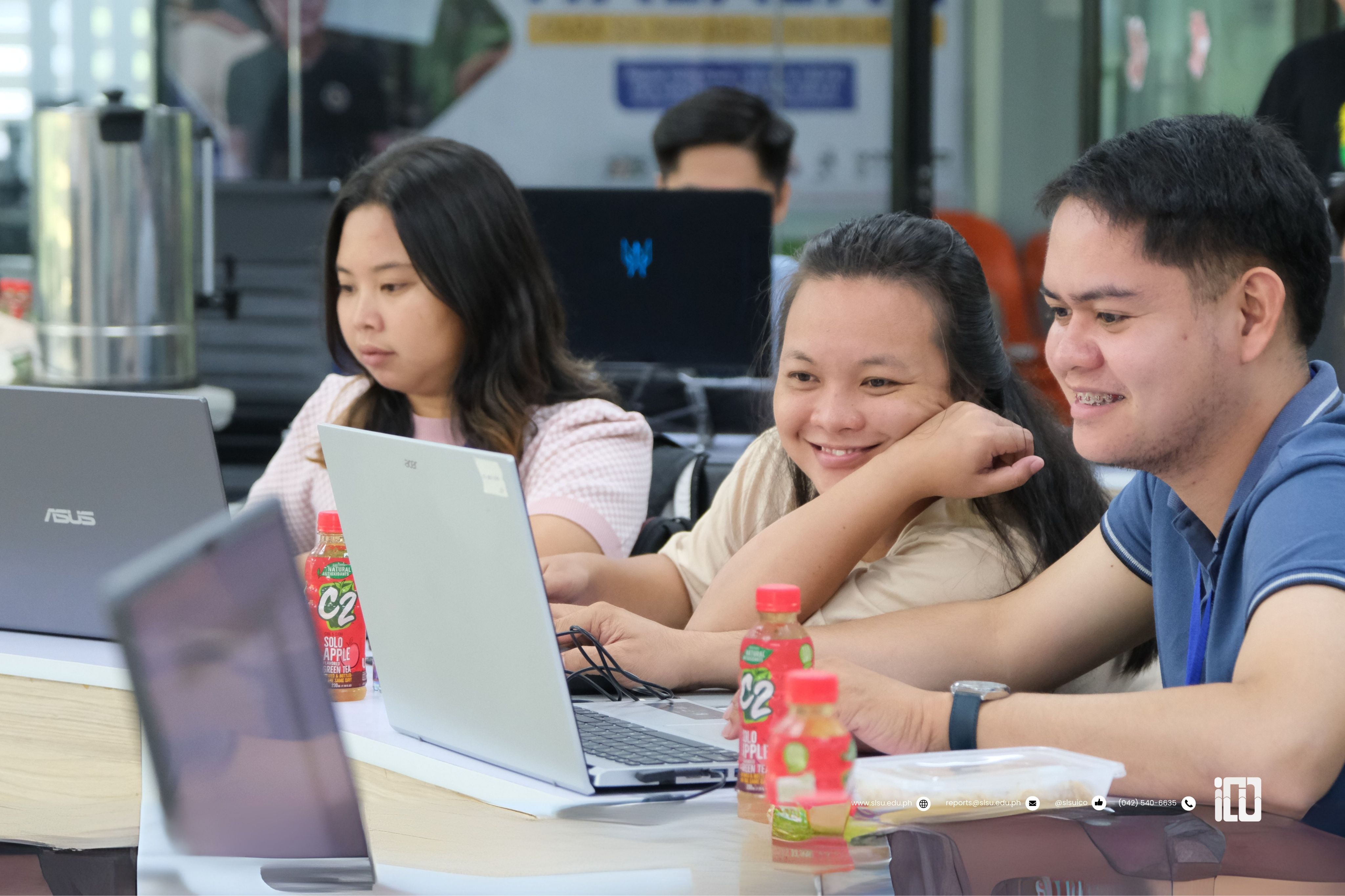
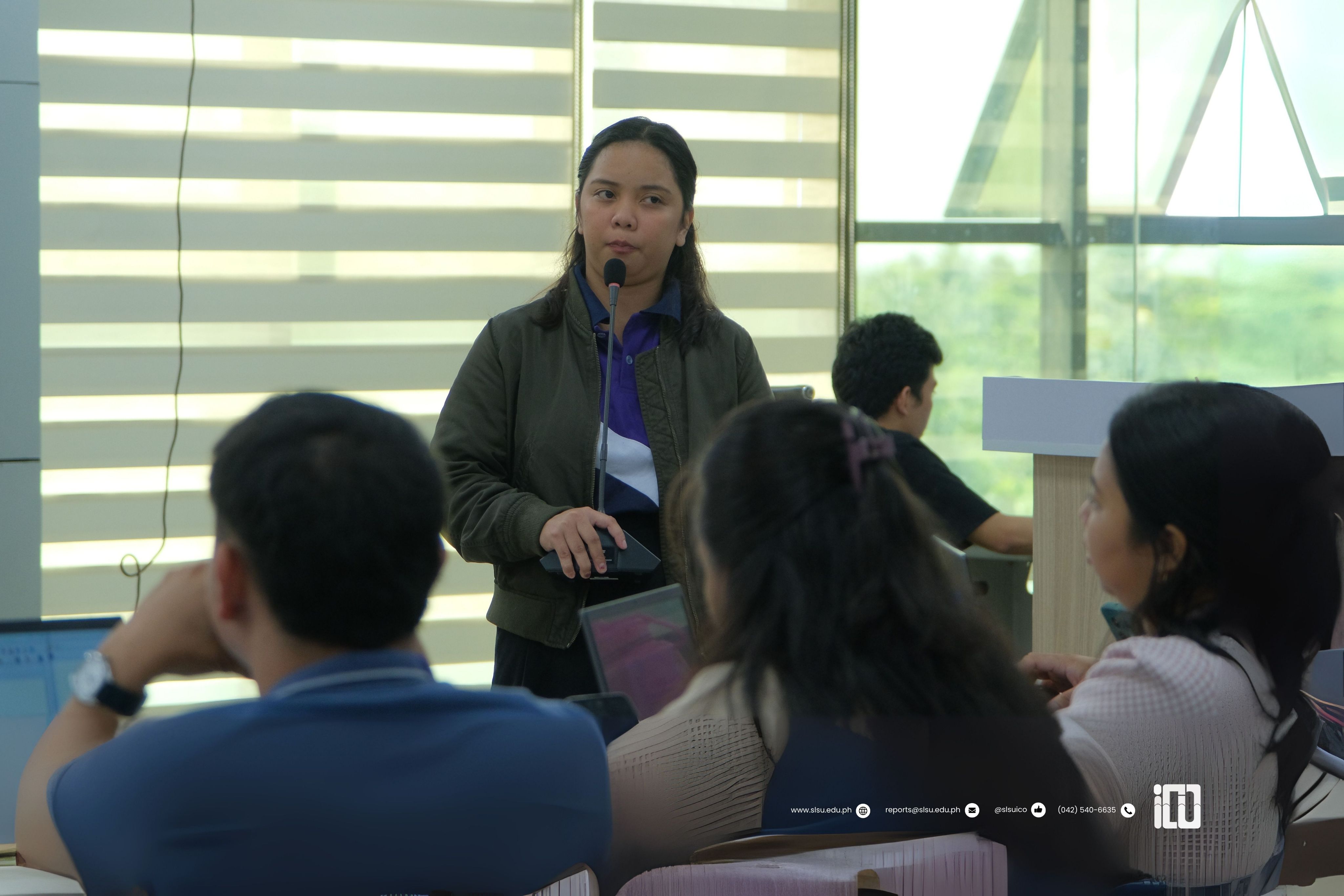
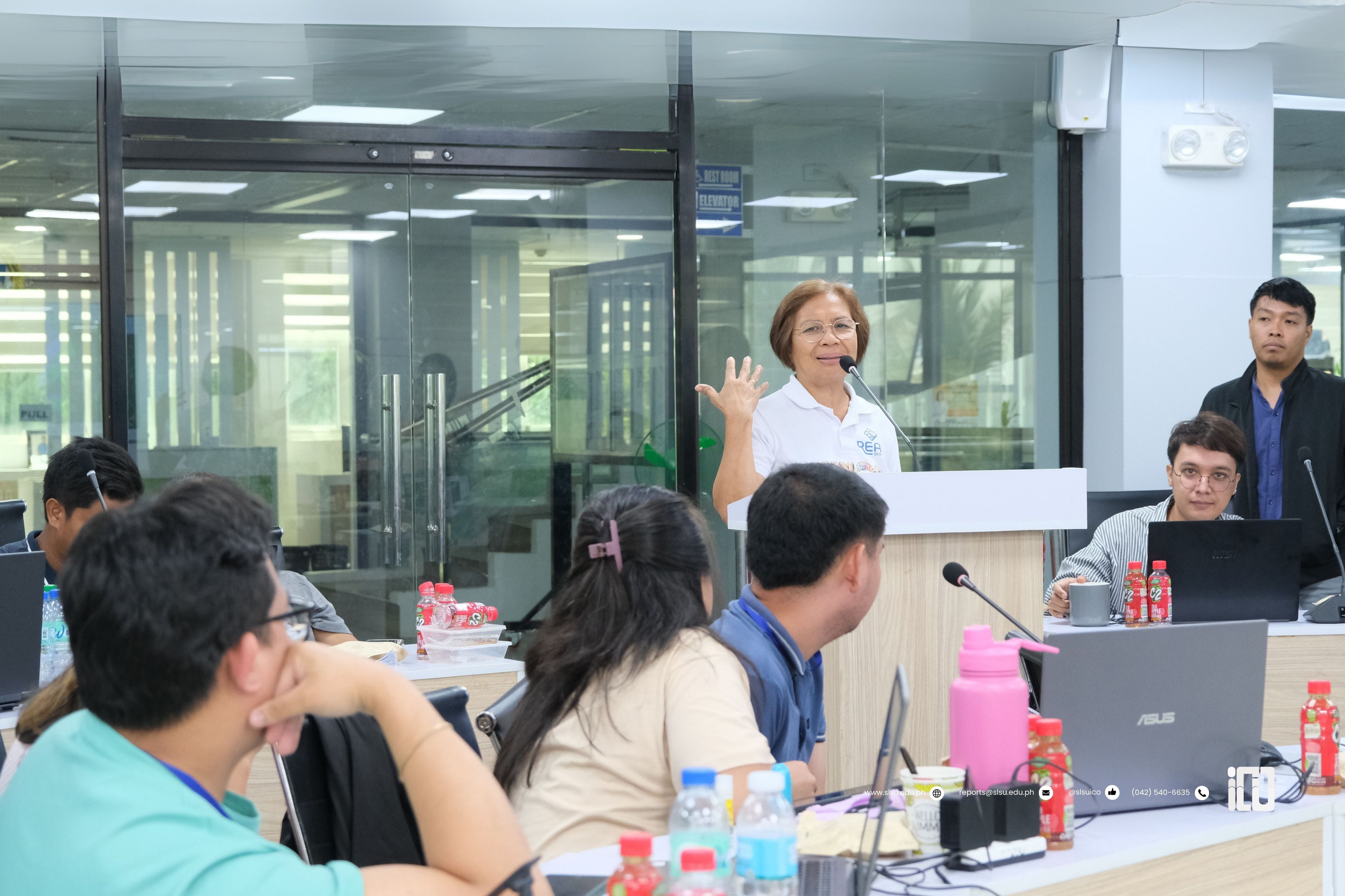
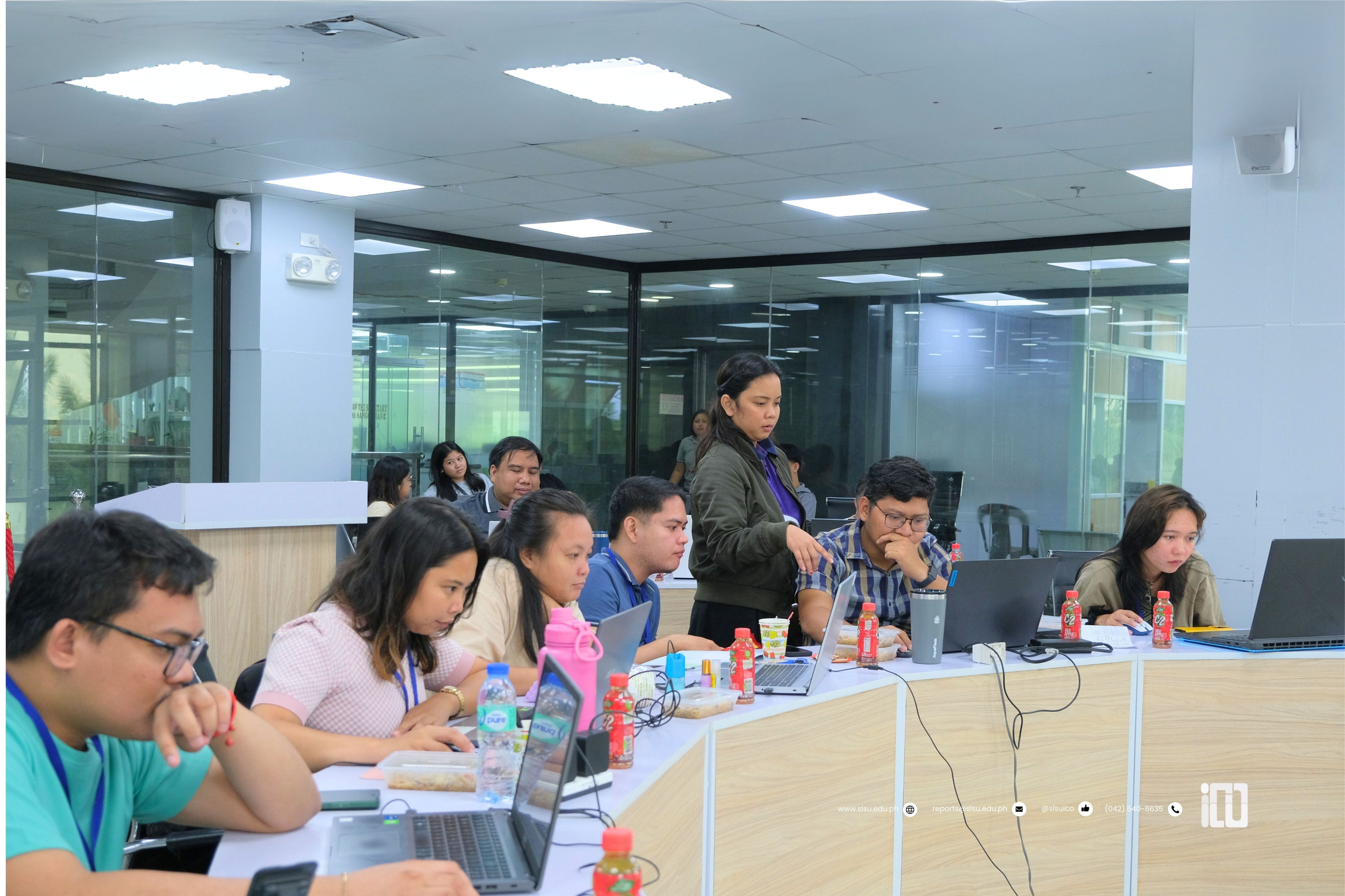
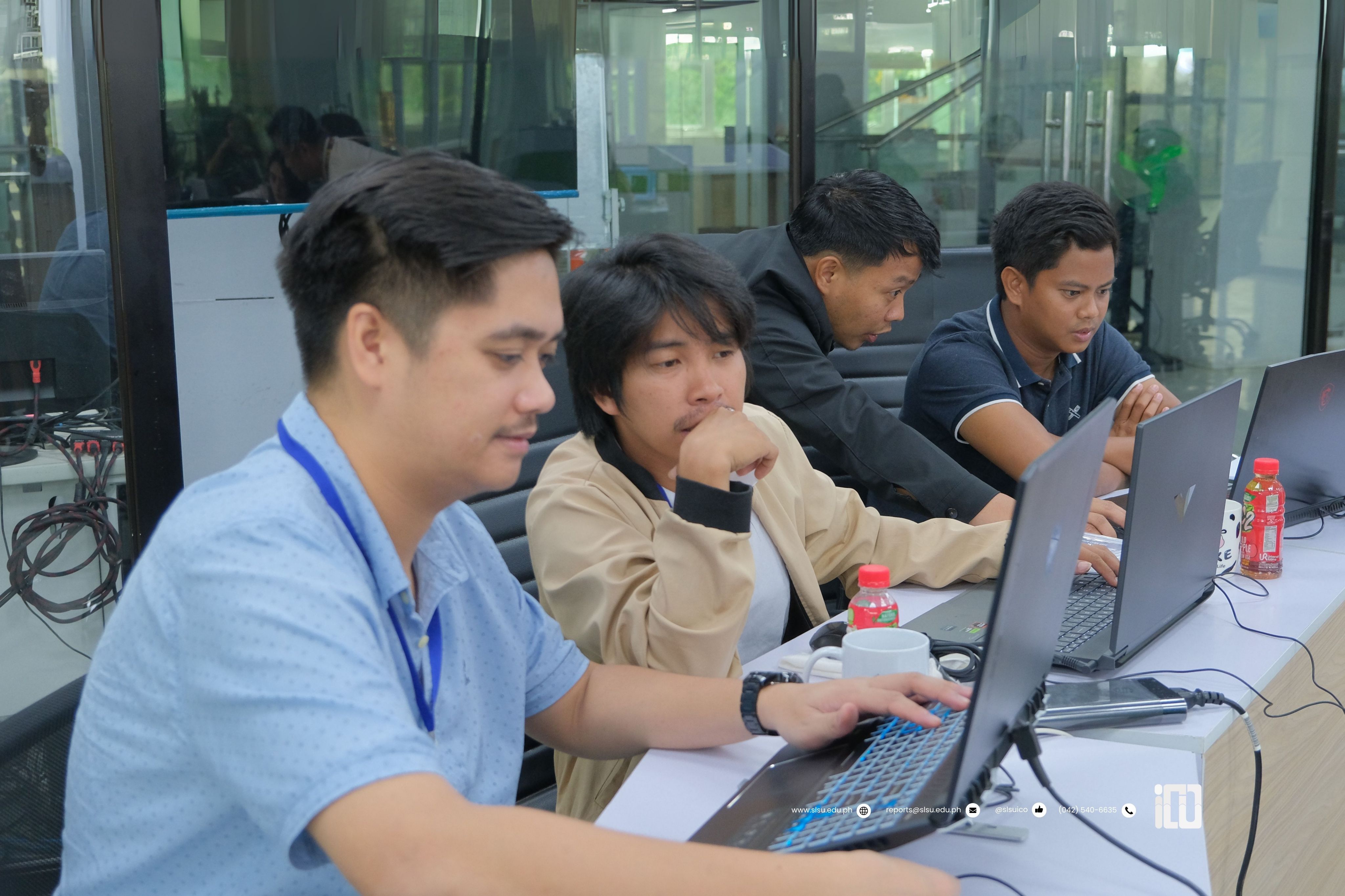
Held from June 24 to 27, the training introduced GIS and familiarized participants with an open-source platform used for creating thematic maps, conducting spatial analysis, and integrating various datasets across various sectors. It also covered spatial data collection and mobile mapping; agricultural and environmental resource mapping; hazard mapping and risk assessment; property tax mapping; infrastructure and utilities planning; land use planning and risk-informed development planning; as well as map design, layout and reporting.
As the training was compressed into four days, LGU Real expressed interest in conducting another set of GIS training, focusing on sector-specific applications.
According to participant testimonies, the training not only enhanced their skills but is also expected to help make the community safer, more resilient, and sustainable.
According to participant testimonies, the training not only enhanced their skills but is also expected to help make the community safer, more resilient, and sustainable.
Photos: SMRRivere, Mary Grace Boncayao
Layout: Angelica Bas
Article: SMRRivere