
SLSU CHERM brings geospatial capability enhancement services to Quezon, Batangas
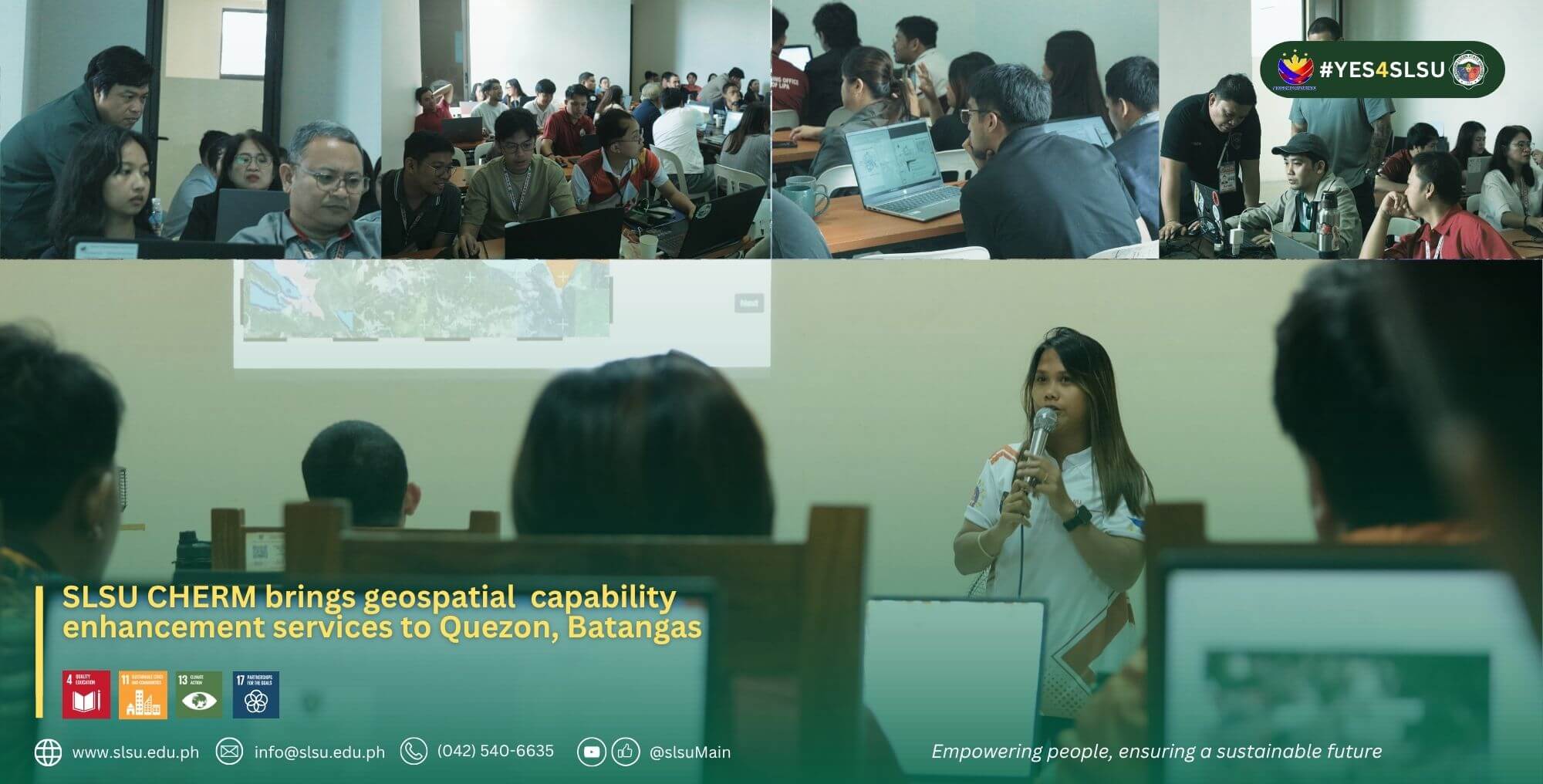
Mapping becomes more useful when it helps people understand what is happening on the ground and make better decisions based on that information. This is the idea behind Geospatial Innovation and Solutions for Local Government Units (GIS4LGU), a capability-building initiative of the Center for Hazard and Environmental Resource Mapping (CHERM) of Southern Luzon State University (SLSU) that recently reached local government personnel in both Calauag, Quezon, and Lipa City, Batangas.
From September 15 to 17, 2026, CHERM conducted the Basic and Applied GIS Training in the Municipality of Calauag under the GIS4LGU University Extension Project. The activity introduced participants to the practical use of Geographic Information Systems or GIS and QGIS in organizing information, creating maps, and supporting local government functions.
The training connected mapping with actual areas of work such as agriculture, environmental management, disaster preparedness, infrastructure, land use planning, property assessment, and data visualization. Hands-on activities also gave participants the opportunity to apply the concepts through mapping exercises related to local government concerns.
A week later, from September 22 to 24, 2026 GIS4LGU reached Lipa City, Batangas, through another form of service. CHERM was invited by the Department of Science and Technology (DOST) - Provincial Science and Technology Office (PSTO) Batangas to deliver GIS4LGU training intended for Lipa City personnel.
The Lipa activity focused on practical mapping skills that participants can use in planning, disaster risk reduction, environmental management, property assessment, engineering, infrastructure, agriculture, and other related functions. The training was designed to help participants organize location-based information, prepare useful maps, collect and check field data, and use these outputs to support planning and decision-making.
The activity also forms part of CHERM’s Geospatial Capability Enhancement Initiatives, one of the Center’s service pillars focused on sharing knowledge and strengthening the practical skills of partner institutions and communities.
While the Calauag activity was implemented under the GIS4LGU University Extension Project and the Lipa engagement came through an invitation from DOST Batangas, both reflect the same purpose: bringing CHERM’s knowledge and services closer to the people and offices that can apply them.
With GIS4LGU now reaching both Quezon and Batangas, CHERM continues to widen its service reach within CALABARZON. More than teaching participants how to create maps, the initiative helps local government personnel make better use of the information they already have, turning it into something that can guide planning, preparedness, and public service.